
City of Boulder Open Space And Mountain Parks
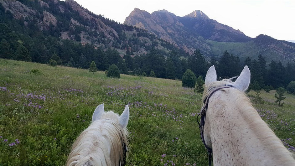
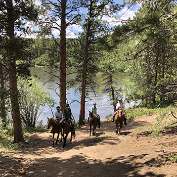
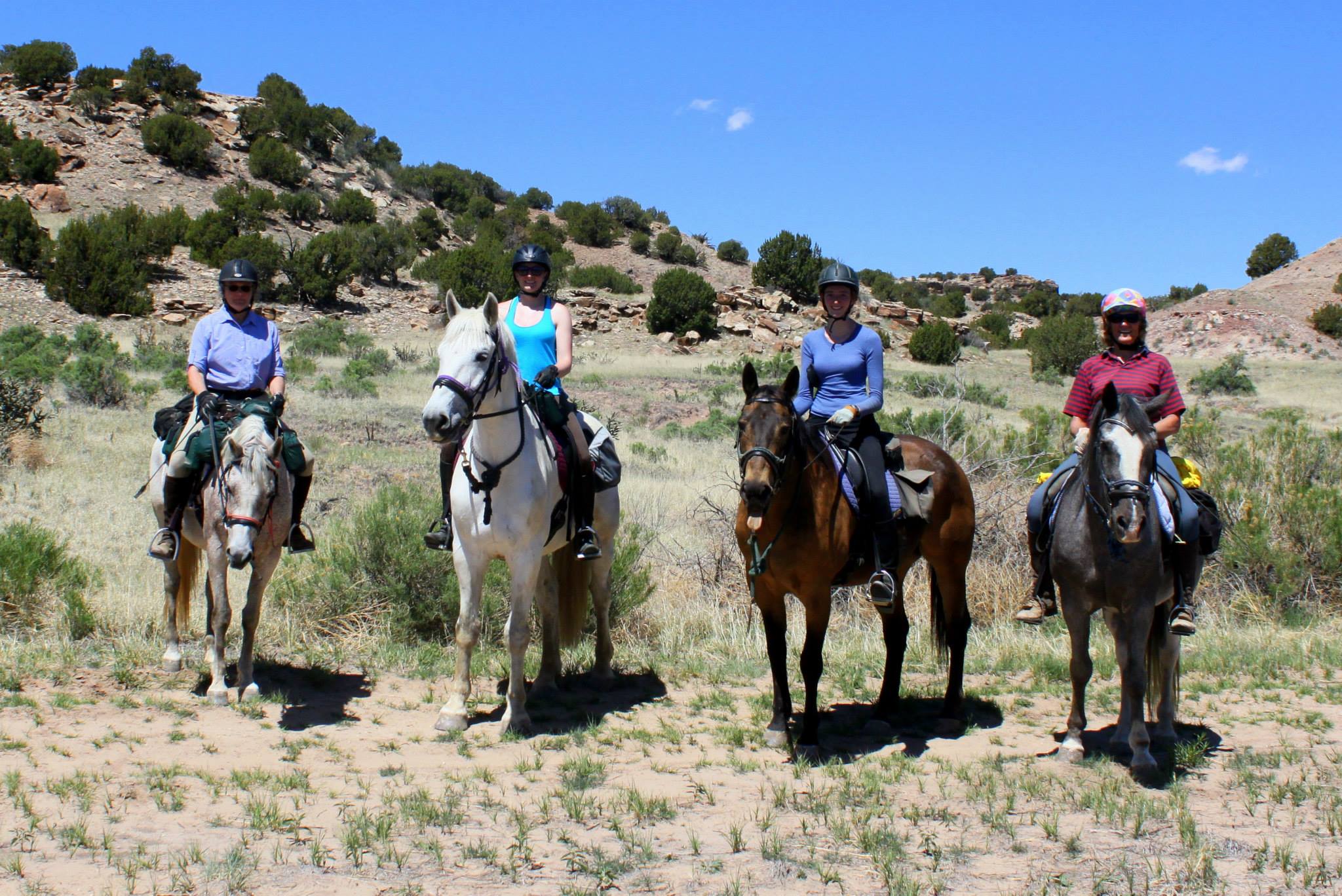
OSMP manages over 150 miles of trails on about 45,000 acres surrounding the City of Boulder. Many of OSMP City of Boulder trails are open to equestrians with a wide variety of terrain, ecological sites and locations to fit the needs and desires of any rider. Some trailhead parking areas have been refurbished to include designated parking spaces for trailers. Find out more!


The Trail Rider's Resource Guide
From etiquette, trail courtesy and safety to what to pack--find a wealth of resources here!
Report a Trail Incident
Got info relevant to other equestrians? Click the button below.